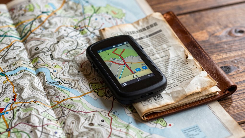

Navigation redundancy combines Maps, GPS, and offline backups to keep you on track even if signals drop. You rely on GPS for real-time positioning, but if it fails, offline maps and manual inputs help you stay oriented. The system switches seamlessly between data sources to guarantee continuous, accurate navigation. Layering these methods boosts safety and reliability in remote or signal-compromised areas. Keep exploring to discover how these strategies work together to protect your journey.

Get business pricing on garage and car supplies
- Business-only prices and quantity discounts
- Tax-exempt purchasing
- Multiple users, one account, clear invoices
Key Takeaways
- Combining GPS, maps, and offline backups ensures continuous navigation despite signal disruptions or failures.
- User interfaces display real-time data, alerts, and seamless switching between data sources for clarity and safety.
- Offline maps and manual inputs provide reliable navigation in remote or signal-compromised environments.
- Layered redundancy and adaptive algorithms optimize data source switching for accuracy and reliability.
- Additional strategies like augmented reality and redundant systems enhance overall system resilience and safety.
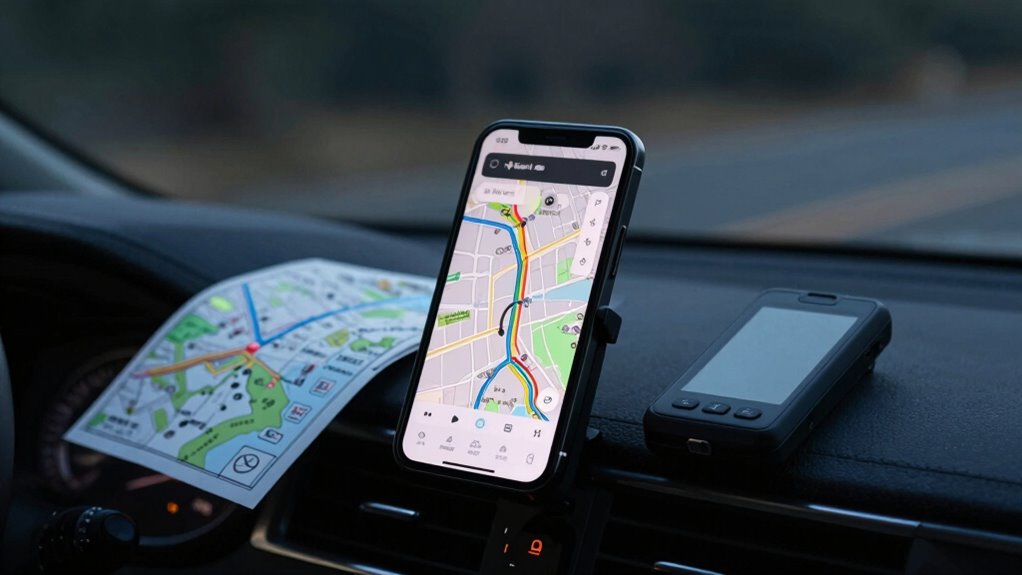
Navigation redundancy is essential for ensuring reliable and safe travel, especially in critical applications like aviation, maritime, and autonomous vehicles. You rely heavily on satellite signals, such as those from GPS, to determine your position accurately. But what happens if those signals are interrupted or compromised? That’s where multiple navigation methods come into play, creating a fail-safe system that keeps you on track even when your primary data sources fail. A well-designed navigation system integrates maps, GPS, and offline backups, providing layers of redundancy that protect against signal loss or errors.
Navigation redundancy ensures safe, reliable travel through layered systems and backup methods in case of signal failure.
Your device’s user interface is key to managing these different sources seamlessly. When satellite signals weaken or become unavailable, the system should alert you immediately and switch to alternative navigation methods. These can include preloaded maps stored locally on your device, which function without an internet connection or satellite input. Offline backups are indispensable in remote areas or during signal disruptions, giving you confidence that your navigation won’t fail unexpectedly. The interface must display clear, real-time updates, showing your current position based on whichever data source is active, and should allow you to manually select backups if needed. This approach minimizes confusion and keeps you informed, regardless of external conditions.
Integrating maps with GPS data creates a layered approach to navigation. While GPS provides real-time positioning, maps offer contextual information that helps you understand your surroundings. When satellite signals are strong, the system can accurately pinpoint your location and suggest routes. When signals weaken, the system should revert to stored map data, enabling you to continue your journey without interruption. You benefit from a robust user interface that simplifies this shift, presenting you with familiar visuals and clear instructions. This synergy between live signals and stored data ensures your navigation remains precise and reliable, even in challenging environments. Incorporating redundant navigation methods further enhances system resilience by providing multiple pathways for positioning. Additionally, implementing adaptive algorithms can optimize how the system switches between data sources based on environmental conditions.
Offline backups are more than just a safety net—they’re a crucial component of a comprehensive navigation strategy. Keeping detailed maps stored locally means you don’t depend solely on satellite signals for every decision. Your device should also support manual input options, allowing you to update your route based on local knowledge or alternative data sources. The user interface should make these adjustments straightforward, providing a smooth experience that keeps you in control. Incorporating multiple navigation methods as part of a layered redundancy approach enhances your system’s resilience, ensuring safety and accuracy no matter where your journey takes you. Furthermore, redundant systems improve overall reliability by ensuring that if one method fails, others can seamlessly take over. Additionally, utilizing augmented reality features can help provide visual cues that complement traditional navigation data, further increasing reliability.
As an affiliate, we earn on qualifying purchases.
Frequently Asked Questions
How Often Should Offline Maps Be Updated for Accuracy?
You should update offline maps at least every three to six months to guarantee accuracy. Regular updates help with map calibration, keeping your navigation precise. Also, prioritize data synchronization, so your offline maps reflect the latest road changes and new developments. Frequent updates prevent errors, reduce confusion, and improve your overall navigation experience. If you’re in an area with rapid development, consider updating more often for the best results.
What Is the Average Battery Life for GPS Devices?
You might be surprised, but the average battery life for GPS devices varies widely. High-end devices often last 8-12 hours with battery preservation, while some compact models can go up to 20 hours. To maximize your device’s longevity, consider battery preservation techniques and guarantee device compatibility with your usage patterns. Keep a portable charger handy—because in critical moments, every minute counts, and your device’s endurance could be the difference between success and getting lost.
Are There Any Legal Restrictions on Offline Map Usage?
There are generally no legal restrictions on offline map usage, but you should guarantee legal compliance by respecting map licensing agreements. Many map providers specify how their maps can be used, especially for commercial purposes. Always read the licensing terms to confirm you’re not violating any restrictions. Using offline maps for personal navigation usually isn’t an issue, but unauthorized redistribution or commercial use might require proper licensing or permissions.
How Do Weather Conditions Affect GPS Accuracy?
Weather conditions can considerably affect your GPS accuracy. Satellite interference caused by heavy rain, fog, or snow can disrupt signals, leading to less precise positioning. Atmospheric distortion, especially during thunderstorms or solar storms, can also bend or weaken GPS signals as they pass through the ionosphere. As a result, you might experience delayed or less reliable location data during severe weather, making it harder to navigate confidently.
Can Navigation Redundancy Improve Safety in Emergencies?
Navigation redundancy definitely enhances safety in emergencies. By having multiple navigation tools like maps, GPS, and offline backups, you improve your emergency preparedness and guarantee communication reliability. If one system fails due to weather or technical issues, others can guide you safely. This layered approach helps you stay on track, reduces stress, and increases your chances of reaching safety quickly, no matter the situation.
As an affiliate, we earn on qualifying purchases.
Conclusion
To stay confidently on course, rely on a mix of maps, GPS, and offline backups. This triple-layered approach guarantees you’re never left stranded, even if technology fails—a true lifesaver when you’re miles from anywhere. Think of it as having a superhero team for navigation, ready to rescue you from the chaos of lost signals or dead batteries. With these tools in your kit, you’ll navigate like a pro, no matter what the journey throws your way.
As an affiliate, we earn on qualifying purchases.
GPS and map combo navigation device
As an affiliate, we earn on qualifying purchases.
As an affiliate, we earn on qualifying purchases.
Halloween Picks
halloween
As an affiliate, we earn on qualifying purchases.